
TOPOS x Buitelhucht excursion: Flevoland
- 12 mrt 2024
- 4 minuten om te lezen
Bijgewerkt op: 23 mrt 2024
Artikel door Jol Abels
With the long-awaited collaboration between the Buitelhucht and TOPOS committees, an excursion towards the province of Flevoland was organized. In the theme of the ‘Van Rossems’ we went to visit Almere, Lelystad, the Oostvaardersplassen and Nagele to get a look at the design choices that were made in the 1960s when this enitrely new province was created.
The group of enthousiastic students arrived early in the morning near the Aurora building. Three rental vans and their drivers were ready for take-off and the students were chatting excitedly about their schoolday they were going to miss in order to be present during this excursion.
The province Flevoland was reclaimed from the Zuiderzee in the 1960s, serving to combat flooding and expand agricultural land, it is the biggest polderingsproject ever. Cornelis Lely plays an important role in the poldering of the Zuiderzee, in 1891 he had already plans for it.
Cramped up in the tiny vans, and the music turned on loudly, we drove in a straight line towards the regenboogwijk in Almere. As the name suspects, this turned out to be a very colourful 90s neighborhood at the edge of the elongated city of Almere. Our tourguide and likewise TOPOS-member Chris was ready to tell us everything about this special neighborhood.
The regenboogbuurt was designed in the 90s, with colour as a cheap guide to countaract the greyness of 50s and 60s architecture. With landscape architects, urban planners and a colour advisor the design was made. Together with the colours of the plants the colours on the houses form a unique interplay in the public space: a liveable arboretum. Nowhere before this had been done on such a large scale!

Examples of this interplay became apparent to us during the photo scavenger hunt through the regenboogwijk. In teams we ran around the colourful blocks with Aldo Van Eycks’ designed playgrounds, to find the houses corresponding with given pictures. In February not very visible, but when blossoming the blue of the butterfly-bushes matches with the blue houses beyond, and in the terracotta coloured streets, 850 Japanese Cherry trees are placed.
Still panting from all of the running we settled down next in the Oostvaardersplassen to enjoy our lunch. The Oostvaardersplassen originated after Flevoland was reclaimed in the 1960s .The piece of land was supposed to become an industrial area, but there was no direct need for this. Puddles of water were present and nature took over the area, creating a swampy landscape. After, reeds were sown which stimulated further drying because of evaporation. Nowadays, nature has free rein here and the Oostvaardersplassen are part of Natura2000.
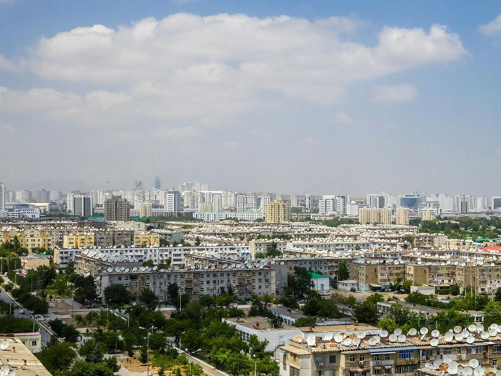
A new province also needs a capital, and Lelystad was supposed to become just that. A metropole for people out of the Randstad who wanted (or needed) a new place to live, but still have a good train connection to Amsterdam. We drove to this capital city to meet up with Mark van Wonderen: Freelance journalist and author of the book ‘Treurtrips’. A book with a collection of the Netherlands’ most beautiful ugliest places. The perfect man for us to guide us through this special city. Walking us through the city, he learns us more about the origin of Lelystad and how it turned out the way it is.

The building proces of Lelystad started in 1965. According to the designers, Lelystad was going to count a population of 100.000 people by the year of 2000. The first inhabitants entered Lelystad in 1967, but the development was slow because of bad train connections, shortage of money and indeciveness regarding Markerwaard (the polder of the Markermeer). Because of this the development of the coast area is put to a hold. Also, people seem to prefer living in Almere, leading to a stop in growth for Lelystad. Having already built houses for all of the expected 100.000 inhabitants this lead to a lot of vacancy and impoverishment.

The last place we visited is a lot smaller: 2000 inhabitant rich village Nagele. Designed by the biggest thinkers of that era like Gerrit Rietveld, Aldo Van Eyck and Mien Ruys, it is an outstanding example of modernist architecture and planning. We are welcomed by the museum of Nagele, in one of the old churches with a great exhibition explaining the design process and a movie with video material of the first years of living in the city. Nagele is designed with a separist mindset: all of the functions of the village are separated. The public functions (like the churches, schools and supermarket) are in or around the big parc in the middle. Around this, blocks of ‘doorzonwoningen’ (houses with living rooms that stretch along the entire length of the building, so sunlight reaches it from both sides) are arranged. Then finally, the village is surrounded by strokes of forest.

Mien Ruys, landscape architect responsible for this project also designed the graveyard of the village. She combines the love of geometrical shapes and straight lines from the modernist movement, with organic and colourful vegetation. She is ordered to divide the graveyard into a Roman Catholic part and a general part. Ruys, however believes that everyone is equal after death and designs a 40 m foliage where every dead could make their last walk, to symbolize this equality.
After this impressive visit to Nagele, we leave Flevoland and end this compelling day with something to eat in Zwolle. A lot can be said about the design and plannings choices that were made in Zwolle too, but for today Flevoland was more than enough: a very succesful day.


Erg leuke dag gehad!!!