
Gain in territory
- Jan 13
- 7 min read
Article by Roos te Velde
Urban designer at PosadMaxwan

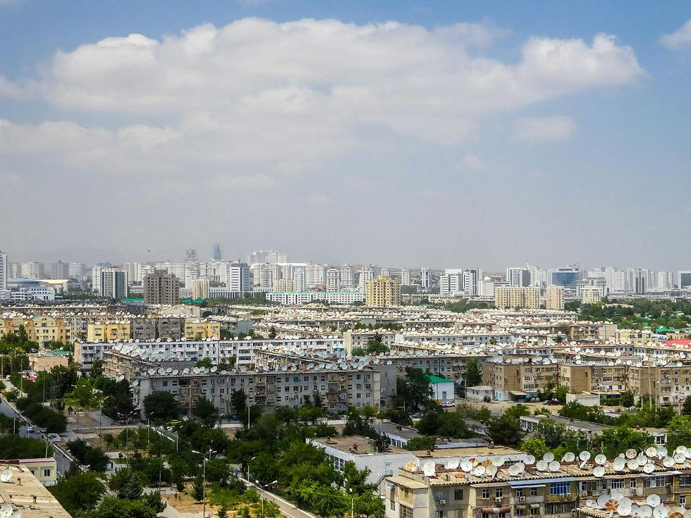
Figure 1: The IJssel Bridge in Zwolle after heavy rainfall. (Source: Roos te Velde, 2023)
The landscape is gaining ground in urban planning and reclaiming its space. Almost three-quarters of a century after Cornelis van Eesteren's inaugural speech on 'the relationship between the general urban plan and the development of architecture' (Bergeijk, 2017), I dare say that a new hierarchy is emerging between architecture, urban planning and landscape architecture. This is not without reason. A purely planned approach to feasibility will not enable us to overcome the crises afflicting our landscape and our cities.
During my exchange programme in Ghent, I noticed a different approach to urban planning in Flanders. It developed more from the landscape and existing terrain than from a preconceived plan. In Flanders, the profession has only emerged in the last few decades, and as a result, it is less bound by systematic architectural planning. That difference made me think about our own tradition: in a society that has been parcelling and building itself against the water and the laws of nature for centuries, the shift to a landscape-based logic is a cultural change of considerable magnitude.
For this article, I dive into that shift with Rients Dijkstra (partner at PosadMaxwan). We talk about our profession and the relationship between urban planning, landscape architecture and architecture. Is a repositioning indeed taking place, and why now? What was that relationship like when we were students, and how do we see it reflected in today's projects?
A look back: the planned Netherlands
To understand the origins of this relationship, we must revisit Van Eesteren's lecture from 1954. His discovery of the relationship between urban planning and architecture was not unexpected. The former arose from the latter. The Housing Act of 1901 stipulated that the government was responsible for providing healthy and affordable housing. This marked the beginning of a large-scale, organised approach to housing; the now almost nostalgic concept of volkshuisvesting (public housing) (Wagenaar, 2015; Lorzing, 2021).
This approach fitted seamlessly into the culture of a country that had been accustomed to planning for centuries. Protecting ourselves from the water and serving agricultural needs, we shaped the landscape to our liking. This urge to control water, land and space still forms the undercurrent of our urban planning tradition. The urban network grew along with that logic. When it became necessary to consider the expansion of a city more substantially, architects such as Berlage and Granpré Molière felt comfortable thinking bigger. The first urban planners were architects who expanded their work on a larger scale. They found a connection between architecture and urban planning and achieved a strict planning of the functional layout of the city (Heeling et al., 2002).
Cornelis van Eesteren and Theodoor Karel van Lohuizen later set the tone for the profession. Vision and execution go hand in hand, they said (Bergeijk, 2017). When Rients (who graduated in the late 1980s and now teaches in Delft) and his colleagues recently attempted to redefine urban planning, it was no coincidence that they looked back to these two gentlemen. ‘Visionary thinking and at the same time translating that vision into concrete proposals’ as the core of urban planning is something they adopted from Van Eesteren and Van Lohuizen (Dijkstra et al., 2021).
Grand in urban planning
In the second half of the twentieth century, the malleable city reached its peak. Urban planning developed into an independent discipline, separate from architecture. The political convictions of the time, such as the belief in progress, rationality and large-scale planning, laid the foundation. But what would urban planning be without the strict order of modernism or the systematic nature of public housing? A redefinition of urbanism took place. Each nota (memorandum) on Spatial Planning reflected an implementation of the new trend in urban planning. The Vinex (Vierde Nota Extra) period of the 1990s was an expression of professional self-confidence. Designers such as Riek Bakker and Rients Dijkstra realised large-scale Vinex expansions: carefully planned and directed down to the last detail.
‘The urban designers at the municipality spoke a strange language,’ Rients recalls of his early years working on Leidsche Rijn, one of the major Vinex developments. ‘They were always talking about morphology and long lines. And I would ask: ‘Why do the lines need to be long? Can’t they be short?’’That mild irony reflects his own attitude: critical of the abstract jargon and professional posturing that sometimes crept into the discipline, yet fully aware of the importance of recognising underlying spatial structure. It shows how urbanism at the time constantly negotiated between conceptual ambition and the built reality.
When Rients looks back on Leidsche Rijn, the same tensions resonate. ‘Tunnelling under the highway was a good move. I would propose that solution again. It gains a lot of space and naturally binds the two parts of the city together’. The strategy of varying densities and a mix of programmes in different locations is also something he would do again today. Something that is inevitable when dealing with this size of programme. ‘But what bothers me,’ Rients continues, ‘is that we always choose to invest in a few beautiful squares, entrances or parks, and stop designing when it comes to the rest of the streets. Let's become bread bakers again instead of pastry chefs.’ This comment reflects a subtle shift: from a perfectly orchestrated city to a more robust, everyday urban design that leaves room for the landscape, for imperfection and for learning.

Figure 2: Construction of the A2 tunnel. A large park has been created on top of the tunnel, connecting Leidsche Rijn with the city centre of Utrecht. (Source: Aerostockphoto, 2011)
The landscape speaks back
While urban planning in the 1990s still had confidence in its directed approach, in which landscape architecture certainly played a role, recent challenges show that the ground on which we build is speaking back. Climate change, land subsidence and biodiversity are putting the landscape back on the agenda. The limits of our country's carrying capacity are coming into view. This calls for a different way of designing. The slogan ‘water and soil-driven’ marks not only a policy change, but also a mental shift: from building on the ground to building with the ground.
As urban planners, we are not yet accustomed to involving the underground world so intensively in our design processes for streets, parks and buildings. It is vital to incorporate this essential resource into our designs, models and concepts in order to achieve a sustainable future. It is striking that this becomes self-evident when designing for a liveable future. When I researched alternative growth futures for the Zwolle region for my graduation project, I automatically ended up at the soil and water system. If you want to design within the limits of the planet and at the same time meet a social minimum, soil quickly becomes a determining factor. Wetlands, for example, are not only unsuitable for building on, but can even pose such safety risks that they fall below the socially acceptable minimum.
Ian McHarg's (1996) layered approach is now standard in urbanism education. It teaches designers to read a place in three layers with different speeds: subsoil, networks and use. Nowadays, we also use this methodology in our design, such as in the ‘inverted triangle’ developed by PosadMaxwan in a study on healthy design for the Province of South Holland (2022): first the landscape, then the networks, and only then the buildings. This way, you always design based on the carrying capacity of a place and not on a plan with numbers.

Figure 3: Designing from Positive Health. (Source: PosadMaxwan and Province of South Holland, 2023)
Reversing the design logic is precisely the sign that the landscape is gaining ground. Soil takes up space in square metres, but also in terms of priority and way of thinking. On a small scale, this translates into ‘building from the ground up’: designs that take into account the load-bearing capacity of soil types, infiltration and micro-topography (PosadMaxwan and Municipality of Rotterdam, 2024). On a larger scale, this approach plays a role in supporting ecosystems, regulating the climate and sustaining life on earth. Only when soil is seen as a living system, rather than a passive substrate or a residual condition for construction, can it fulfil its necessary functions (Rizzetto et al., 2025). This not only requires changes to what happens within the design, but also shifts the design attitude itself: from linear to iterative and system-oriented thinking.

Figure 4: The Westblaak as a case study in the handbook Designing for healthy soil in urban areas. (Source: PosadMaxwan and Province of South Holland, 2023)
The learning landscape
The landscape has returned, not as a romantic backdrop but as a design and normative framework. The climate crisis forces us to listen again to soil, water and ecological coherence. Where the Netherlands once distinguished itself through its plan-based approach, it now has to distinguish itself through adaptability. For a country accustomed to controlling space, that is a cultural shift.It does not require less planning, but a different kind of planning. Designing from the landscape does not mean that the land dictates everything – even if we might wish it could. Other themes, ambitions and forces also shape a place, and they, too, must be recognised and coordinated. Perhaps the real craft of spatial design lies not in choosing between structures or programmes, but in learning how to make them work together.
Referenties
Bergeijk, H. van (2017). Van Lohuizen and Van Eesteren – partners in planning and education at TH Delft. TU Delft
Dijkstra, R., van Dorst, M, van Ham, M., Nijhuis, S (2021). The Delft Approach to Urbanism. TU Delft.
Ghosh, A. (2023). De vloek van de nootmuskaat: Boodschap aan een planeet in crisis. Atlas Contact.
Heeling, J., Meyer, H., & Westrik, J. (2002). Het ontwerp van de stadsplattegrond.
Hickel, J. (2020). Less is More: How Degrowth Will Save the World. Random House.
de Jonge, J. M. (2009). Landscape architecture between politics and science: an integrative perspective on landscape
planning and design in the network society. [Internal PhD, WU, Wageningen University].
Lörzing, H. (2021). Een land waarover is nagedacht. Een eeuw ruimtelijke ordening in Nederland.
McHarg, I. L. (1995). Design with nature. Turtleback.
PosadMaxwan & Gemeente Rotterdam. (2024). Handboek Ontwerpen voor een vitale bodem in stedelijke gebieden:
De casus Westblaak, Rotterdam. https://posadmaxwan.nl/projects/bouwen-vanuit-de-bodem
Rizzetto, F., Thomas, L., Babu, G., & Furlan, C. (2025). Designing with and for Vital Soil in Urban Areas. Ecologies Of
Desealing, 96–115. https://doi.org/10.7413/1234-1234077
Thomas, L (2025, 19 augustus) Bodem was toch al sturend? [Post] LinkedIn.
Wagenaar, C. (2015). Town Planning in the Netherlands Since 1800: Responses to Enlightenment Ideas and
Geopolitical Realities. Nai010 Publishers.


Comments